CARTO
The Agentic GIS Platform: scalable spatial analysis for all teams
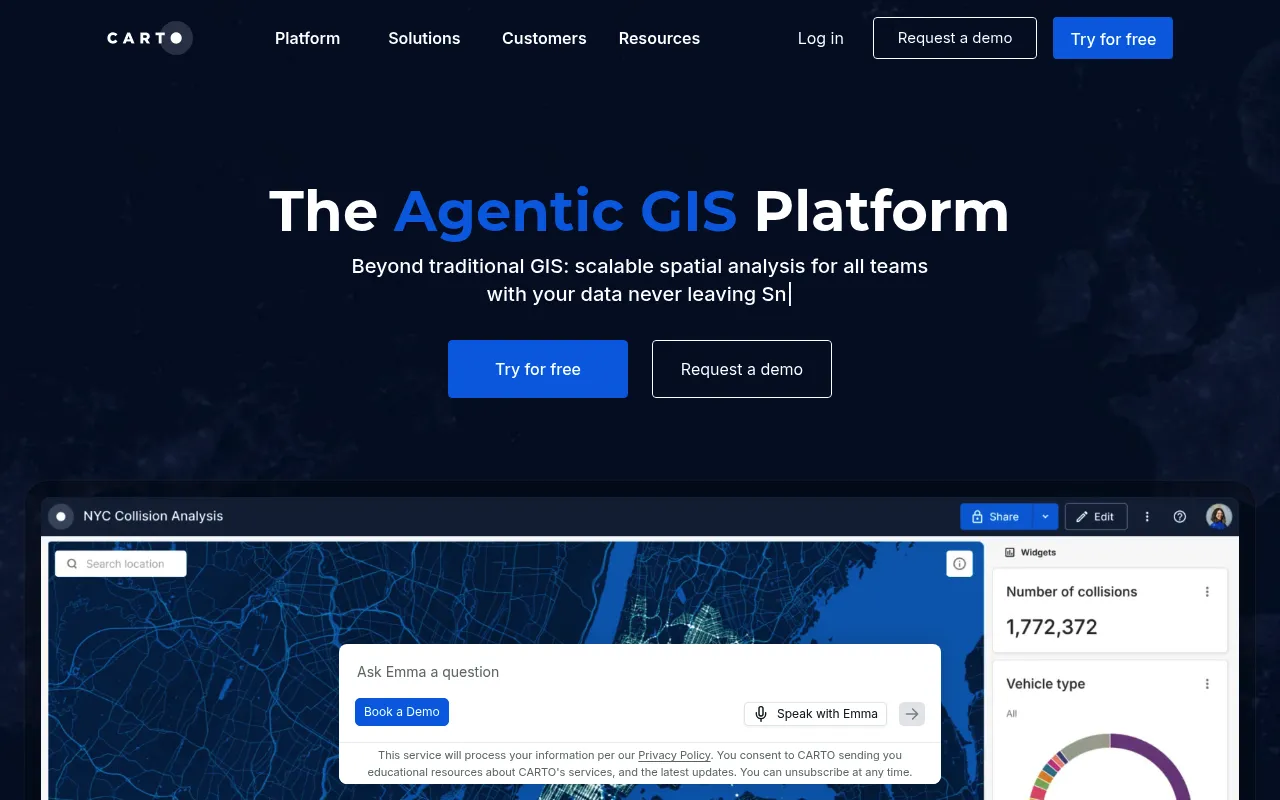
CARTO is a cloud-native GIS and location intelligence platform that enables spatial analysis, data visualization, and AI-powered insights without moving data out of a company's existing cloud ecosystem. It offers tools for data analysts, developers, and business users including low-code analytics workflows, interactive map dashboards, and customizable AI agents. The platform targets enterprise organizations seeking to replace traditional or fragmented GIS solutions with a unified, scalable alternative.
CARTO runs entirely within a company's existing cloud data lakehouse (e.g., BigQuery), providing drag-and-drop analytics, AI agents, map visualization, and app development tools that operate directly on spatial data in place.
Enterprise data analysts, GIS professionals, and developers in large organizations
Background.
- Status
- launched
- Business model
- subscription
- Company
- CARTO
Similar projects.
Editorial take on the space this project sits in — momentum signals, adjacent moves, our call on whether the wedge is real. Get pinged when we publish a new read or when the landscape shifts.
Have a take on this space?
Tell us what you’d build differently, where you think the incumbents miss, or what we’ve gotten wrong about this project. Comments + reactions are coming soon.