latlng
Open-source geospatial object engine in Rust + WebAssembly
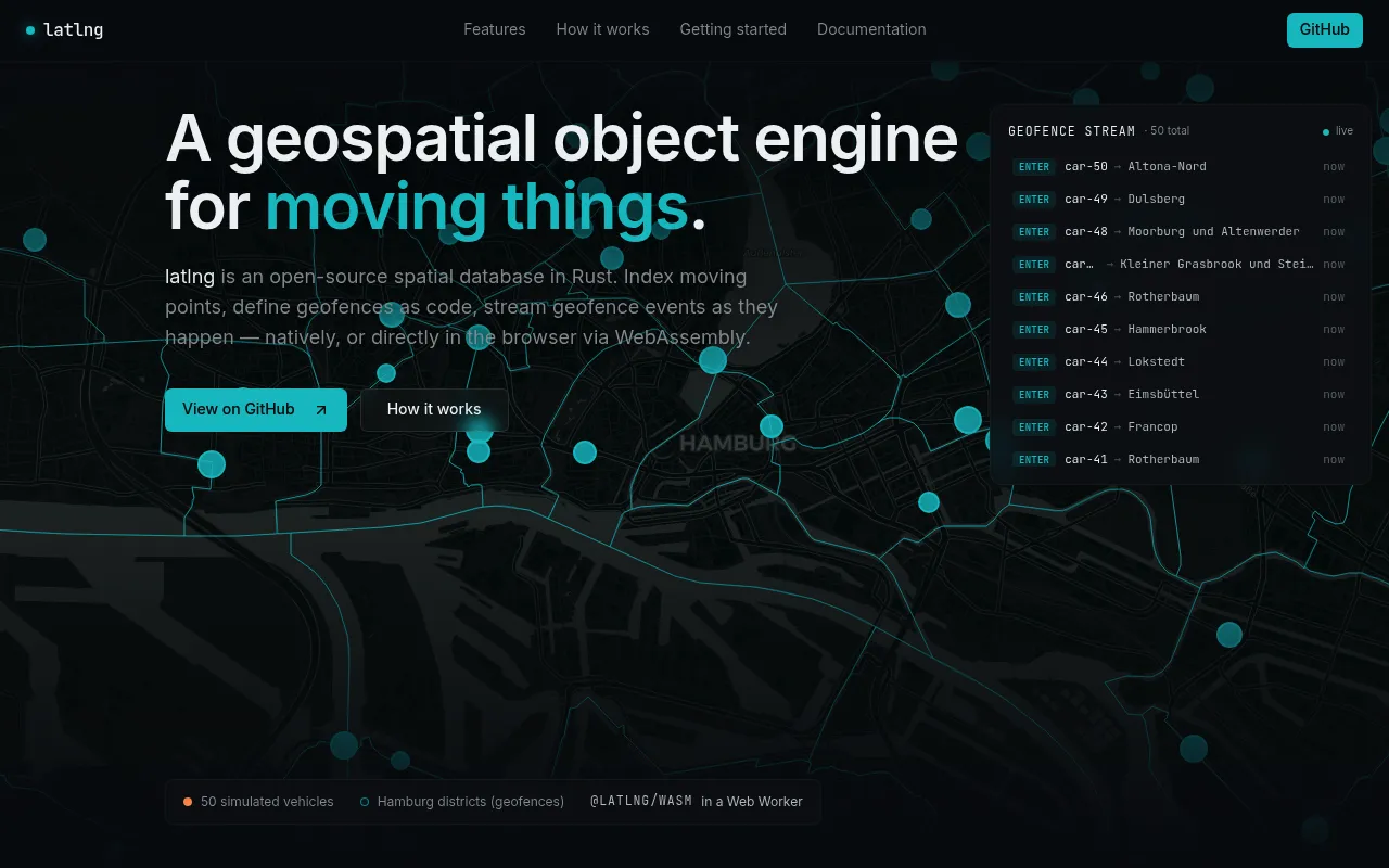
latlng is an open-source spatial database written in Rust that supports indexing moving points, defining geofences as code, and streaming geofence events in real time. It can run as a native server with HTTP/JSON, WebSocket, and Cap'n Proto interfaces, or compile to WebAssembly to run directly in the browser via a Web Worker. It is MIT-licensed and supports features like spatial indexing, durable webhook delivery, replication, and JWT-based authentication.
A single Rust core compiles to either a native binary or WebAssembly, enabling spatial indexing, geofencing, and event streaming natively or inside a browser Web Worker.
software developers building location-aware or geospatial applications
Background.
- Status
- launched
- Business model
- open-source
Founders
- tobilggithub
Contact
Similar projects.
Editorial take on the space this project sits in — momentum signals, adjacent moves, our call on whether the wedge is real. Get pinged when we publish a new read or when the landscape shifts.
Have a take on this space?
Tell us what you’d build differently, where you think the incumbents miss, or what we’ve gotten wrong about this project. Comments + reactions are coming soon.