Matidor
See Your Entire Field Operation On One Live Map.
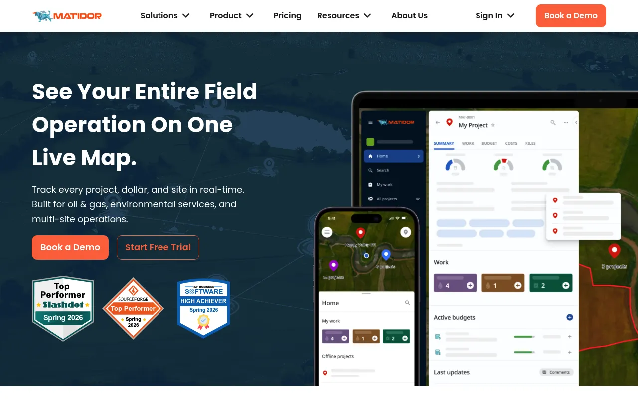
Matidor is a GIS-native field operations platform designed for oil & gas, environmental services, and multi-site teams. It unifies project management, real-time budget tracking, and offline-capable mobile field tools on a single map-based dashboard. The platform helps organizations prevent budget overruns, reduce communication gaps between office and field teams, and manage large portfolios of distributed sites.
Matidor centralizes all projects on an interactive GIS map with real-time budget monitoring, automated alerts, and offline-first mobile apps that sync data when connectivity is restored.
Field operations managers in oil & gas, environmental consulting, and multi-site industrial companies
Background.
- Status
- launched
- Business model
- freemium
- Company
- Matidor
Similar projects.
Editorial take on the space this project sits in — momentum signals, adjacent moves, our call on whether the wedge is real. Get pinged when we publish a new read or when the landscape shifts.
Have a take on this space?
Tell us what you’d build differently, where you think the incumbents miss, or what we’ve gotten wrong about this project. Comments + reactions are coming soon.